News ◦ 12—10—2020
SHARE

Presentation of NEUROPUBLIC’s Earth Observation services at a Copernicus workshop

News ◦ 12—10—2020

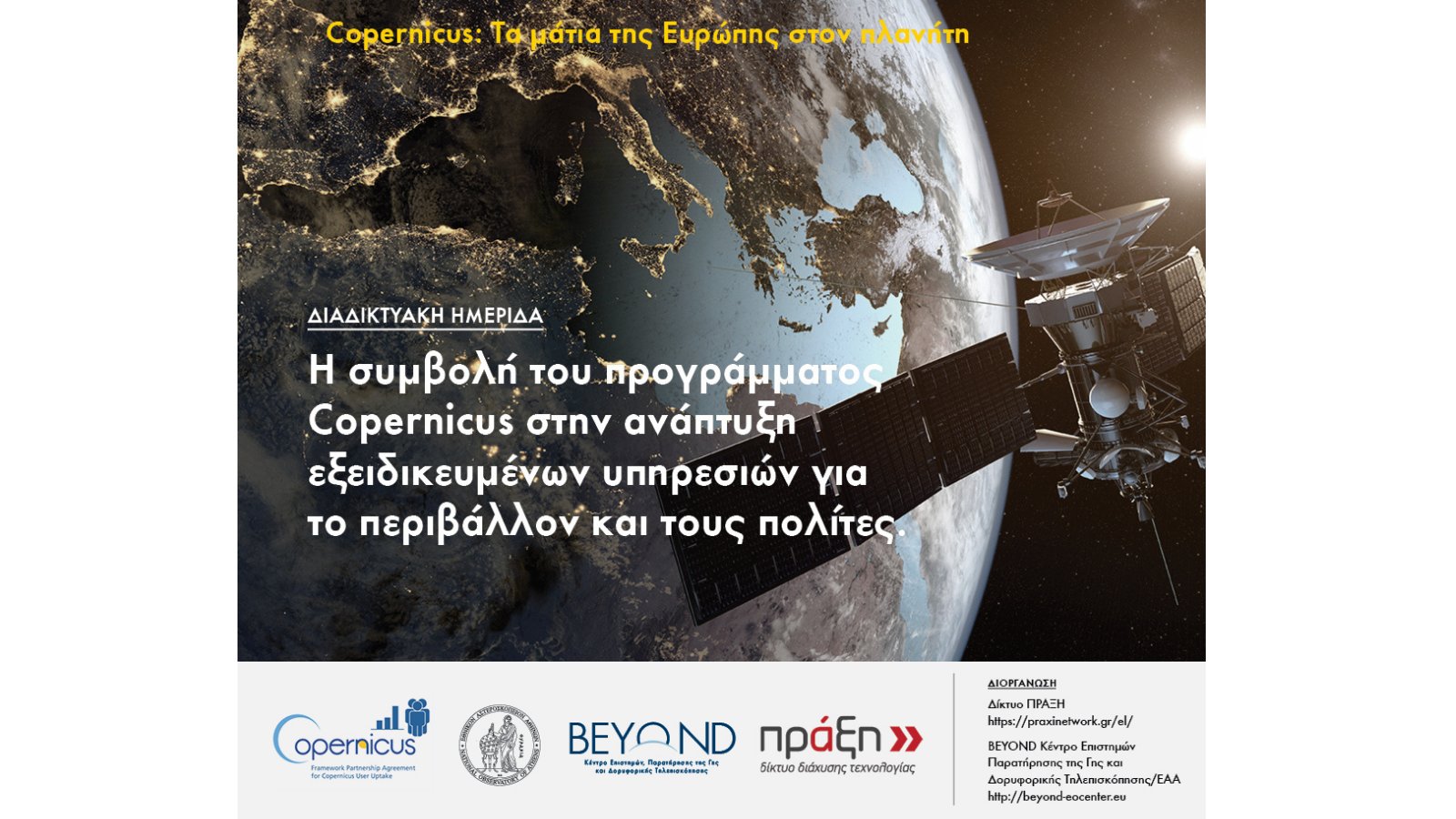
On Thursday October 8, Praxi Network and BEYOND Center of Excellence of the National Observatory of Athens organized an online workshop themed “The contribution of the Copernicus programme in the development of specialized services for the environment and the citizens“. The workshop aimed at the presentation of services and products developed by Greek entities for addressing challenges related to climate change, sustainable farming and food security.

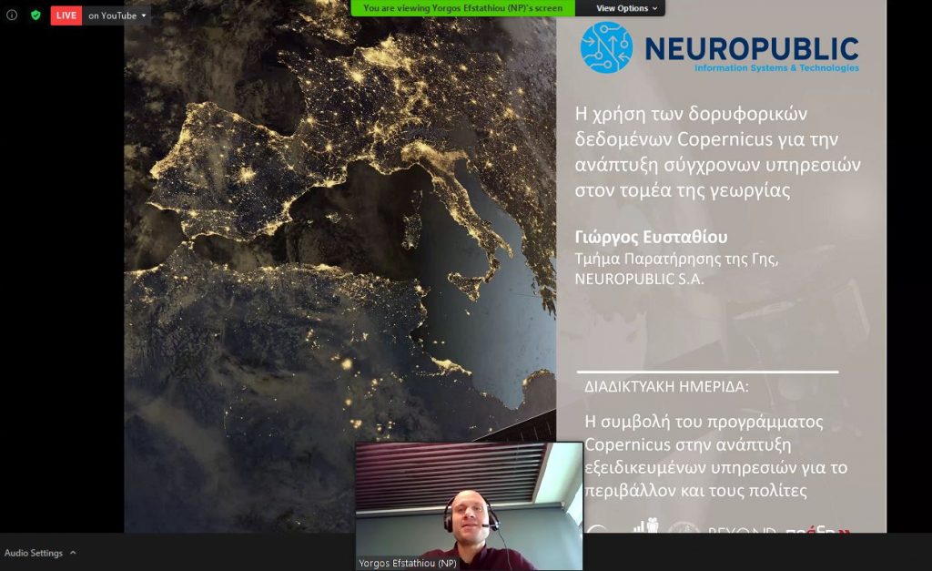
Yorgos Efstathiou, NEUROPUBLIC΄s Project Μanager in Earth Observation Services was one of the invited speakers and referred in details on the role of the Copernicus programme data in the agricultural sector.

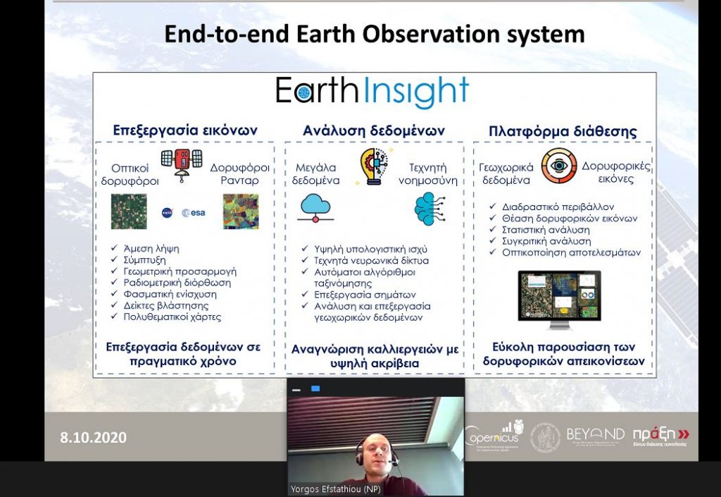
His presentation depicted NEUROPUBLIC’s activity in the specific area, providing information on Earth Insight – the company’s processing engine of satellite images, the development of services such as OPEKEPE (the Greek Paying Agency), the gaiasense smart farming system as well as NEUROPUBLIC’s participation in European projects such as NIVA and e-shape, which focus on the development of technological solutions based on earth observation.

During his presentation, Mr. Efstathiou provided examples and quantitative data on the benefits of the use of satellite data and technologies.

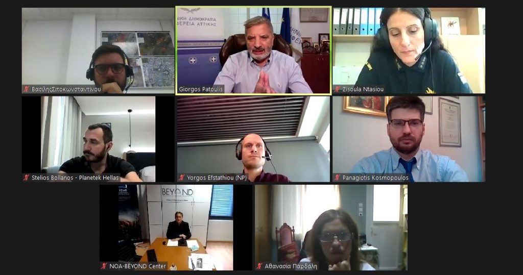
Dr. Charalampos Kontoes, Research Director of the Greek National Observatory, was the moderator of the event, while panelists included representatives from the government, Ministries and related public organizations, research institutions, technology providers etc.

You can find more information about the workshop on the Praxis Network website and the recording of the workshop is available here (Greek only).

We would like to thank the organizers of the event for the kind invitation.

About the Copernicus Programme

Copernicus is the European Union’s Earth Observation Programme, looking at our planet and its environment for the ultimate benefit of all European citizens. It offers information services based on satellite Earth Observation and in situ (non-space) data.

The Programme is coordinated and managed by the European Commission. It is implemented in partnership with the Member States, the European Space Agency (ESA), the European Organisation for the Exploitation of Meteorological Satellites (EUMETSAT), the European Centre for Medium-Range Weather Forecasts (ECMWF), the European Environment Agency (EEA), the Joint Research Center (JRC) and Mercator Océan.

Vast amounts of global data from satellites and from ground-based, airborne and seaborne measurement systems are being used to provide information to help service providers, public authorities and other international organisations improve the quality of life for the citizens of Europe. The information services provided are freely and openly accessible to its users.